Find Yourself at Mason
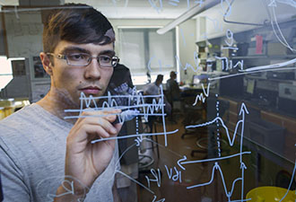
More than 200 undergraduate and graduate degrees along with numerous minors and certificate programs let you create an educational experience to meet your individual and professional goals.
Virginia’s Largest Public Research University
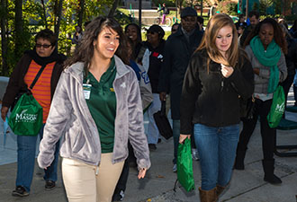
With 34,000 students from all 50 states and 130 countries and a residential population of more than 6,000 students Mason is a vibrant and dynamic community of scholars.
Sub-navigation:
- Business and Economics
- Culture, Media, and Society
- Education: Methods of Teaching and Learning
- Health and Biomedical
- Physical and Biological Sciences
- Regional, National, and International Policy Issues
- Security: Homeland, National, Global
- Sustainability, Environment and Climate
- Technology and Information
- Undergraduate Research
- Wellness and Well-Being
- University Libraries
|
|||||||||
|
|
||||||||
 Print-Friendly Page