Different browsers use different keystrokes to activate accesskey shortcuts. Please reference the following list to use access keys on your system.
We use the following access keys on our gateway

Find Yourself at MasonMore than 200 undergraduate and graduate degrees along with numerous minors and certificate programs let you create an educational experience to meet your individual and professional goals. 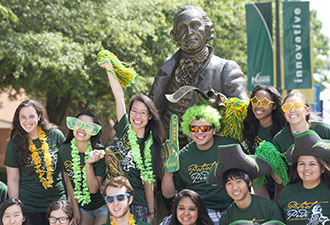
Virginia’s Largest Public Research UniversityWith 34,000 students from all 50 states and 130 countries and a residential population of more than 6,000 students Mason is a vibrant and dynamic community of scholars. 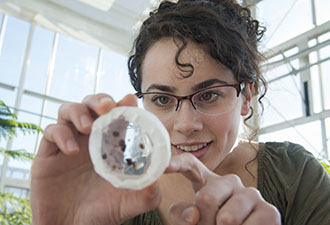
Sub-navigation:
|
|||||||||||||||||
| George Mason University | |||||||||||||||||
|
|||||||||||||||||
|
|
|||||||||||||||||