The National Oceanic and Atmospheric Administration (NOAA) is working with a group of George Mason University scientists to update its drought forecasting system. The researchers leading this effort are all from Mason’s Center for Ocean Land Atmosphere Studies (COLA), which is known for its decades of experience running these types of models.
Mason climate systems scientist Paul Dirmeyer is working with colleagues Bohua Huang and Chul-Su Shin to understand the ways ocean and land interact with the atmosphere and the role each contributes to predicting droughts in the United States. Their work is funded by a three-year, $510,000 grant from the NOAA Climate Program Office’s Modeling, Analysis, Prediction, and Projection (MAPP).
Weather models are known to reliably predict the weather one week out and provide seasonal outlooks. However, there is much less reliability in between those periods, called “subseasonal.” Dirmeyer and the team aim to improve this reliability by focusing on the interplay between atmosphere, land and ocean while while analyzing current model behaviors and working to improve the technology's accuracy at drought forcasting.
“The atmosphere evolves quickly, so predictability is lost quickly, which is why weather forecasts beyond a week are usually not as useful,” said Dirmeyer, who is also a professor in the Department of Atmospheric, Oceanic, and Earth Sciences in the College of Science. “This is why we want to look to ocean and land, and better incorporate their interactions into prediction models.”
The research will address drought research priority areas by identifying:
- surface-atmosphere interactions and their related processes that lead to drought;
- key parameters and methodologies for metrics that can contribute to the capacity of the National Integrated Drought Information System (NIDIS) to identify situations of elevated drought predictability and risk; and
- processes and feedbacks between land, ocean and atmosphere that contribute to drought predictability, prediction and useful warnings.
The NOAA Unified Forecast System (UFS), currently under development, will also be evaluated and used for sensitivity studies to explore specific U.S. drought cases.
Dirmeyer said that historically meteorologists and oceanographers have given the state of the land little attention.
“Moisture in the soil is particularly relevant at subseasonal time scales—greatly affecting whether there is predominantly evaporation, which increases humidity in the atmosphere, versus heating of the air, which drives up temperatures, or some combination,” Dirmeyer said.
He added that land states tend to create feedbacks with the atmosphere, particularly during summer. For instance, dry soil can make heat waves and droughts more intense and last longer than they would otherwise.
“Mason is among only a few universities to conduct seasonal reforecasts using operational models like UFS to support a study of this magnitude,” said Huang.
Because the coupled ocean-land-atmosphere version of UFS is more sophisticated and has a much higher resolution than the current National Weather Service operational forecast system, it could generate five terabytes of output data each day.
The team has already reforecast weather from 1958 to 2017 to test the current prediction model’s ability to predict previous droughts.
“We found that the current model has difficulty representing the oceanic influence over land,” said Huang, which further emphasized a need for the new model to take both land and ocean atmospheres into account.
Instead of relying on data provided to them by others, Dirmeyer, Huang, and Shin are running the UFS model themselves and testing the model until they’re confident in its validity.
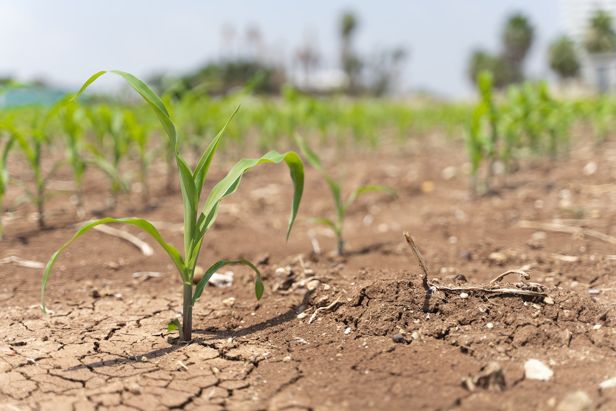
”Severe droughts are also linked to heat waves, wildfires, crop losses; their impacts are growing in severity and cost,” said Dirmeyer. “There is a pressing need to address the drought prediction problem, and improving models that incorporate more information from land and ocean conditions is a crucial part of the solution.”